Nag tibba trek
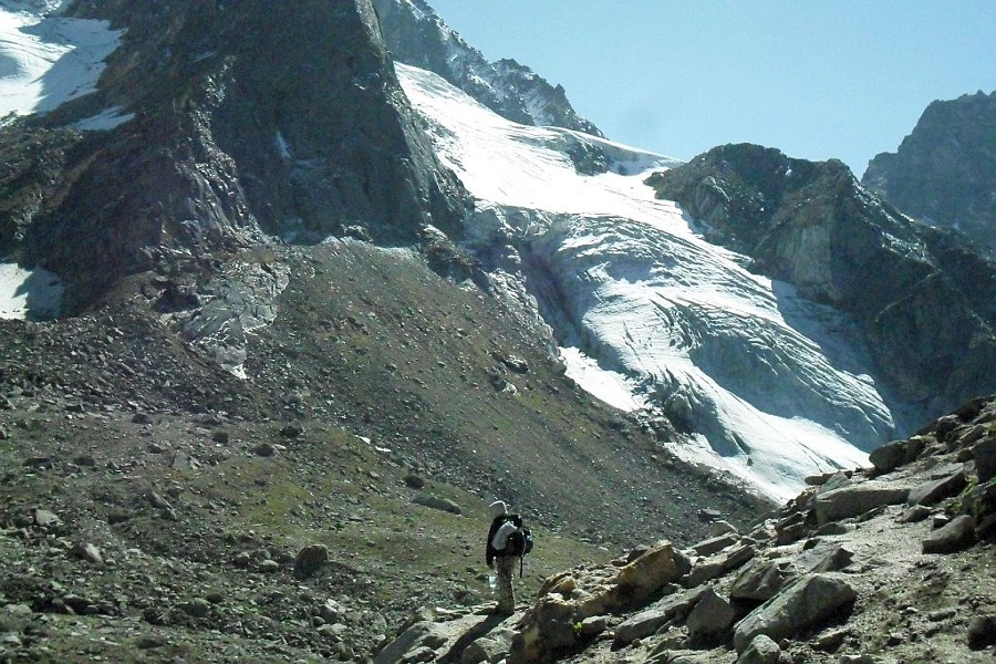
Nag tibba is an interesting trek which offers a good trekking option during winter when most of the high altitude treks becomes out of bound due to snow in higher reaches of Himalayas. The trek offers panoramic view of high Himalayan range. There are plenty of temples and typical Garhwali villages en route.
Nag tibba is located at an altitude of 3030 mt. which attracts thousands of tourists, travelers ,trekkers every month. It is the perfect trek to be explored by the trekkers in the season of april till august and from November till the whole winters. From the nag tibba point one can see the stunning view of bandarpoonch peak, the gangotri group of peaks, kedarnath peak in the north, doonvalley and the snow peaks of chanabang.
It is an easy trek with the best suitable for the beginners. Nag tibba trek is one of the safest trek of garhwal range having near by places like dehradun and mussoriee, with no rivers for floods or donot have any landslide history. The trek through Nag tibba trek has been mentioned in the books- seven years in Tibet, which chronicles the life of mountaineers, heinrich harrer, peter aufschnaiter in may 1944, towards Tibet.
Total length of the trek is 25 km(both way) approximately from the base camp.
Location- Garhwal region, Garhwal range, Uttarakhand, India.
Range-Garhwal Himalayas.
Altitude- 3030 Mts.(9920ft)
Activities to do- trekking, camping, bird watching.
How to reach?-
1) By road- Nag tibba is located 57 km far from mussoriee, which is connected with dehradun-mussoriee highway. Dehradun to pantwari-57 km. pantwari is a base for the camp.
2) By rail- dehradun is the nearest railway station, from dehradun railway station reach to pantwari by road.
3) By air- jolly grant airport also known as dehradun airport on the dehradun-rishikesh road. Code for the dehradun airport is DED.
By Road-57 km from Mussoriee,Dehradun to Pantwari 57 km. By Rail-Dehradun is the nearest railway station. By Air- Jolly Grant airport of Dehradun is the nearest.

